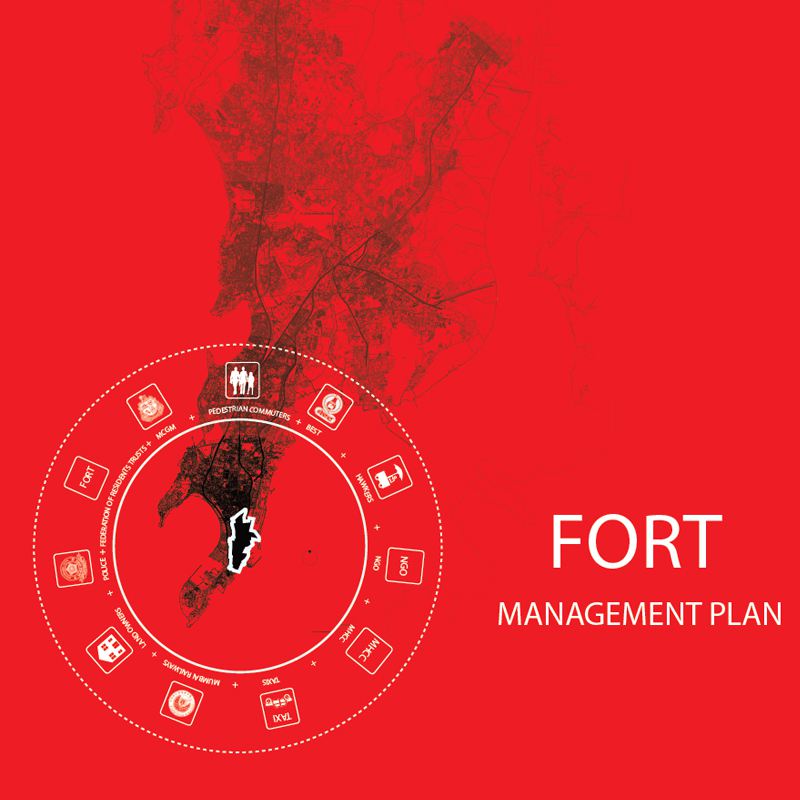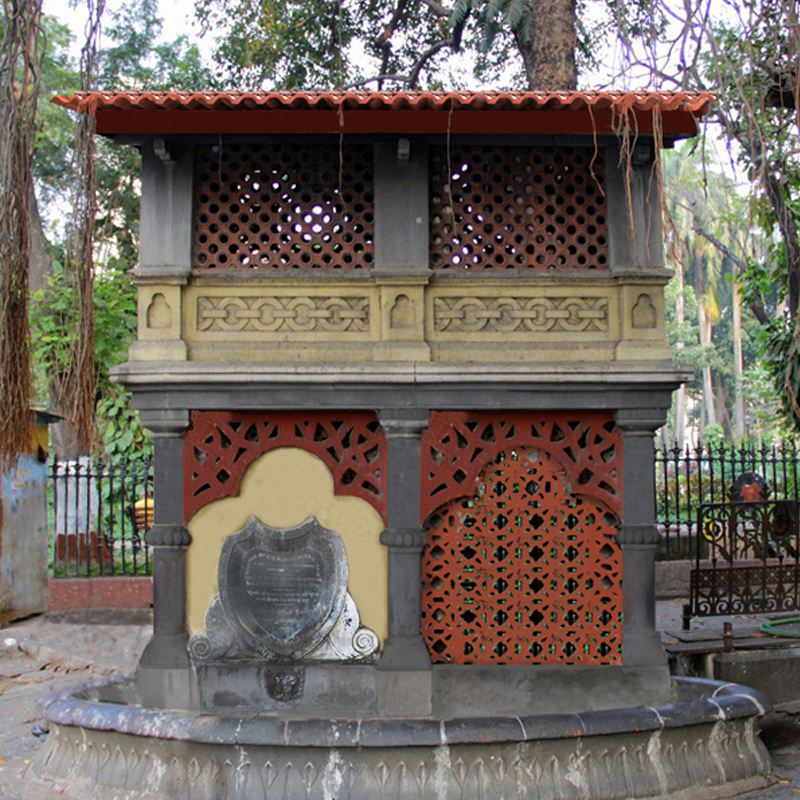
Restoration of Pyau at Horniman Circle
This project has been initiated under the Fort Management Plan. Seth Gangalal V. Mulji Nandlal Pyau at Horniman Circle was inaugurated on 5th January 2017, by Shri. Ajoy Mehta, Municipal Commissioner of Mumbai,. The Fort Management Plan was initiated by UDRI as an effort to safeguard and conserve the culturally and historically significant Fort precinct. [...]